
News
Welcome to SONEL
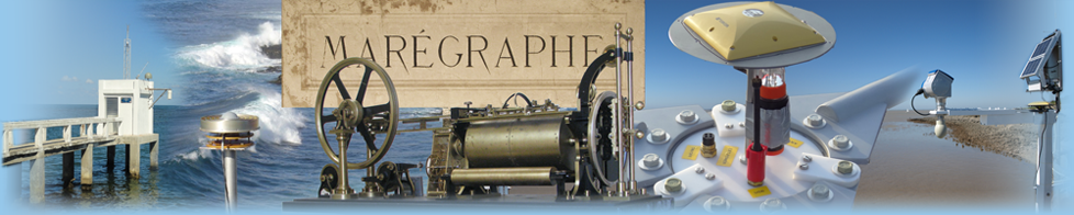
SONEL aims at providing high-quality continuous measurements of sea- and land levels at the coast from tide gauges (relative sea levels) and from modern geodetic techniques (vertical land motion and absolute sea levels) for studies on long-term sea level trends, but also the calibration of satellite altimeters, for instance.
SONEL serves as the GNSS data assembly centre for the Global Sea Level Observing System (GLOSS), which is developed under the auspices of the IOC/Unesco. It works closely with the PSMSL and the University of Hawaii Sea Level Center (UHSLC) by developing an integrated global observing system, which is linking both the tide gauge and the GNSS databases for a comprehensive service to the scientific community. It also acts as the interface with the scientific community for the French tide gauge data.
Observations
Sea and land levels at the coast
Other products
New station CGPS@TG
Help us to have the most complete and updated database
Additional information on tide gauges
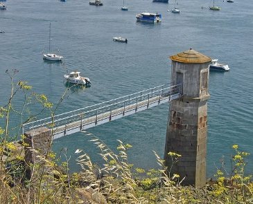
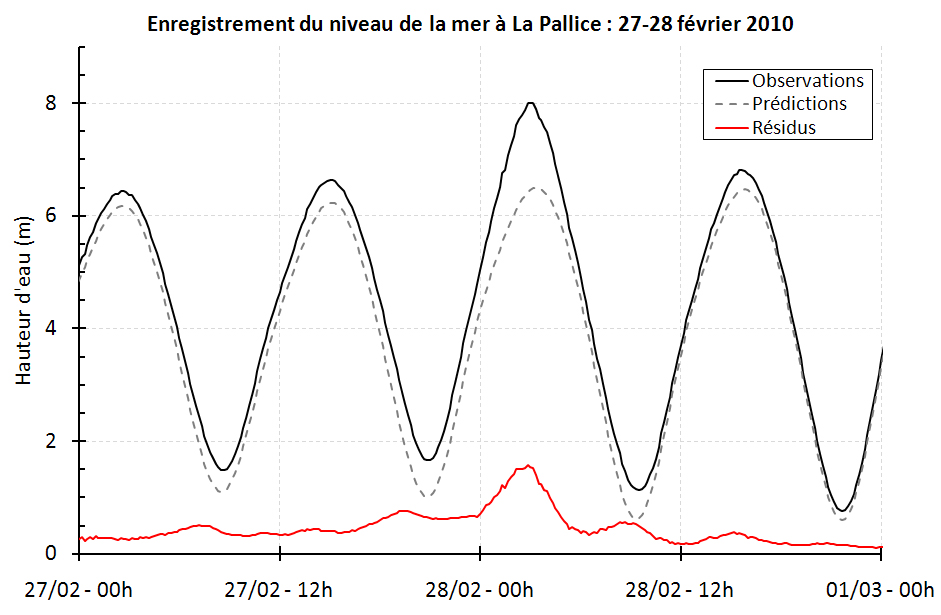
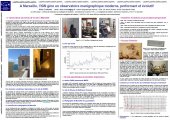
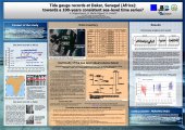
Coastal tide gauges have provided data on the sea level sometimes for almost two centuries. They were originally deployed for the purposes of navigation and the prediction of tides, but their field of application has been extended considerably from coastal engineering and development to the precise knowledge of variations in sea level related to extreme weather events (e.g. storms, tsunamis) and to climate change, of which sea level is an essential parameter. R. Chazallon (1802-1872), a French hydrographic Engineer, was the first to introduce them in France in 1843. Tide gauge is not really an apropriate term since a tide gauge does not actually mesure the tide but rather the sea level, the tide being only one of the phenomena which result in sea level variations. Today, tides are well enough understood and the observations of sufficient quality to allow scientists to focus on other phenomena which result in fluctuations of sea level (see applications tab).